Video from Sunday March 4.

Brown's Seafood Restaurant in Seabrook was flooded on Saturday. The debris is right on the edge of Route 286.

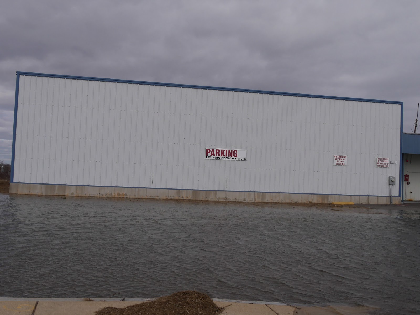
No customer today for this Route 286 business.

At Seabrook beach the water was flowing into the access path on top of the dunes. the beach was completely under water.

Not a good day for picnic with the waves level with the height of this bench.

This shows how vulnerable some areas are. (Click to enlarge photo)

North Jetty as viewed from the north end of Plum Island. huge waves were breaking before even reaching the largely submerge jetty.

Navigation tower at the end of the North Jetty.

Spur jetty in foreground, north jetty just barely visible in the middle, and south jetty in background. (Click on photo to enlarge)

Extensive erosion at Salisbury Beach State Reservation


Bench with two 5 gallons buckets of cement to hold it in place uprooted by high tide.

Water splashing over seawall along campground area.

No comments:
Post a Comment